- Live
live
Our news page is a go-to source for the latest updates, events, and announcements in our vibrant community. Stay informed and connected with everything happening around the city.
Learn
- Work
work
The business park features four highway interchanges, triple-feed electric power, a state-of-the-art municipal broadband network, and much more.
- Play
Community
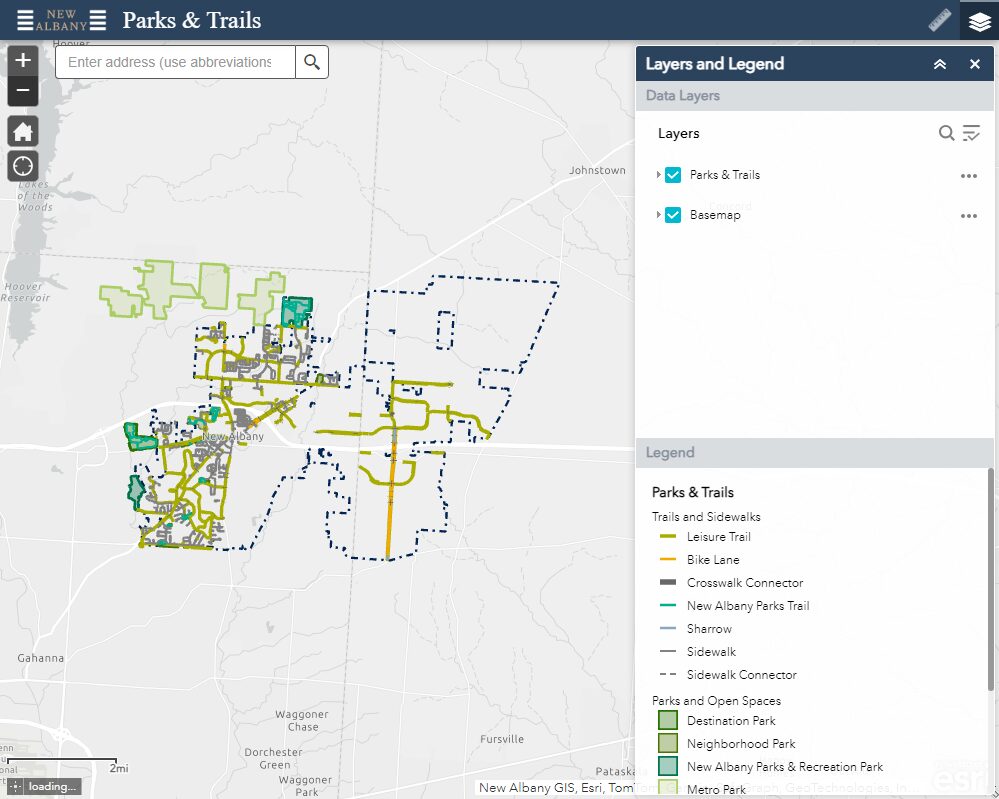
Parks and Recreation
Performing Arts
- Connect
connect
Our community truly connects us. Stay up to date with the City of New Albany by subscribing to our newsletter.